
Hurricane
Wind, coastal flooding and inland flooding.
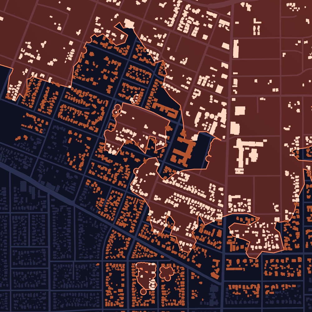
Hurricanes cause damage three ways. Dorothy runs a model for each: wind damage along the track, storm surge and coastal flooding, and inland and flash flooding, and matches every affected property to its owner of record.

Damaged buildings
MajorMinorLow confidenceFlooded properties
Likely water insideWater on the lotFlash floodStorm
TrackProduct view, illustrative. Map data © OpenStreetMap contributors. Records shown are samples.
What it covers
Every hurricane, through three models: wind damage, storm surge and coastal flooding, and inland flooding.
What you get
Every affected property, how badly it was likely hit, and its owner of record.
Who uses it
Restoration, public adjusters, asset managers
Per property
What you get for every property.
- Wind damageMajor or minor wind damage at each property.
- Coastal and inland floodingWhether the property took storm surge, coastal or inland flooding, and if water likely got inside.
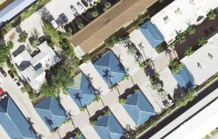
- Before-and-after aerialsImagery from before and after landfall, where available.
- Storm detailsTrack, category and the warnings that covered the area.
- Property detailsBuilding type, size, year built and value.
- Owner of recordOwner name, owner type and mailing address.
Property lists
Build the list your team actually works.
Filter every affected property by type, value and severity, then export it or push it to your CRM.
Illustrative. Exports to CSV, HubSpot and Pipedrive.
Example
Hurricane Milton, Siesta Key, Florida
Landfall October 9, 2024
Milton made landfall near Siesta Key as a Category 3 hurricane. Dorothy flags the properties that likely took wind damage along the track and the ones that flooded inland.
- At landfall
- Cat 3
- Landfall
- Oct 9
- Florida
- Siesta Key
Sample breakdown, for illustration.
How it updates
Updated as the event unfolds.
Every event starts with what is known in the first hours. As new information arrives, and as we run our own analysis, every property is updated.
- Days beforeForecast path
Properties in the forecast path are flagged with each advisory, before landfall.
- LandfallWind and water
At landfall we map wind damage along the track and flooding far inland.
- DaysOur imagery analysis
We analyze imagery from after the storm to identify damaged properties and rate each by severity.
- WeeksField damage surveys
On-the-ground surveys are integrated as they come in, so every property reflects the latest view.
Dorothy shows likely damage. Inspect before work starts.
Storm Reports
Need just one storm? Reports are coming soon.
Every hurricane we model becomes a report: only the impacted properties, each rated by severity, with owners of record, property type and value, and the date of loss. No subscription.
Get early accessEvery impacted property from a single hurricane, each rated by severity, with owners of record, property type, value and the date of loss.
Join the early-access list to hear first when reports open in your states.
Get early access →See hurricane damage in your territory.
Tell us the states and counties you cover. We’ll walk you through recent events and the properties they affected.