Home / Damage models
Damage models

Five models, down to the building.

Tornadoes, wildfires, floods and hurricanes, plus the everyday fires, pipe bursts and water leaks called in to emergency dispatch. Each model finds every affected property, how badly it was likely hit, and who owns it.

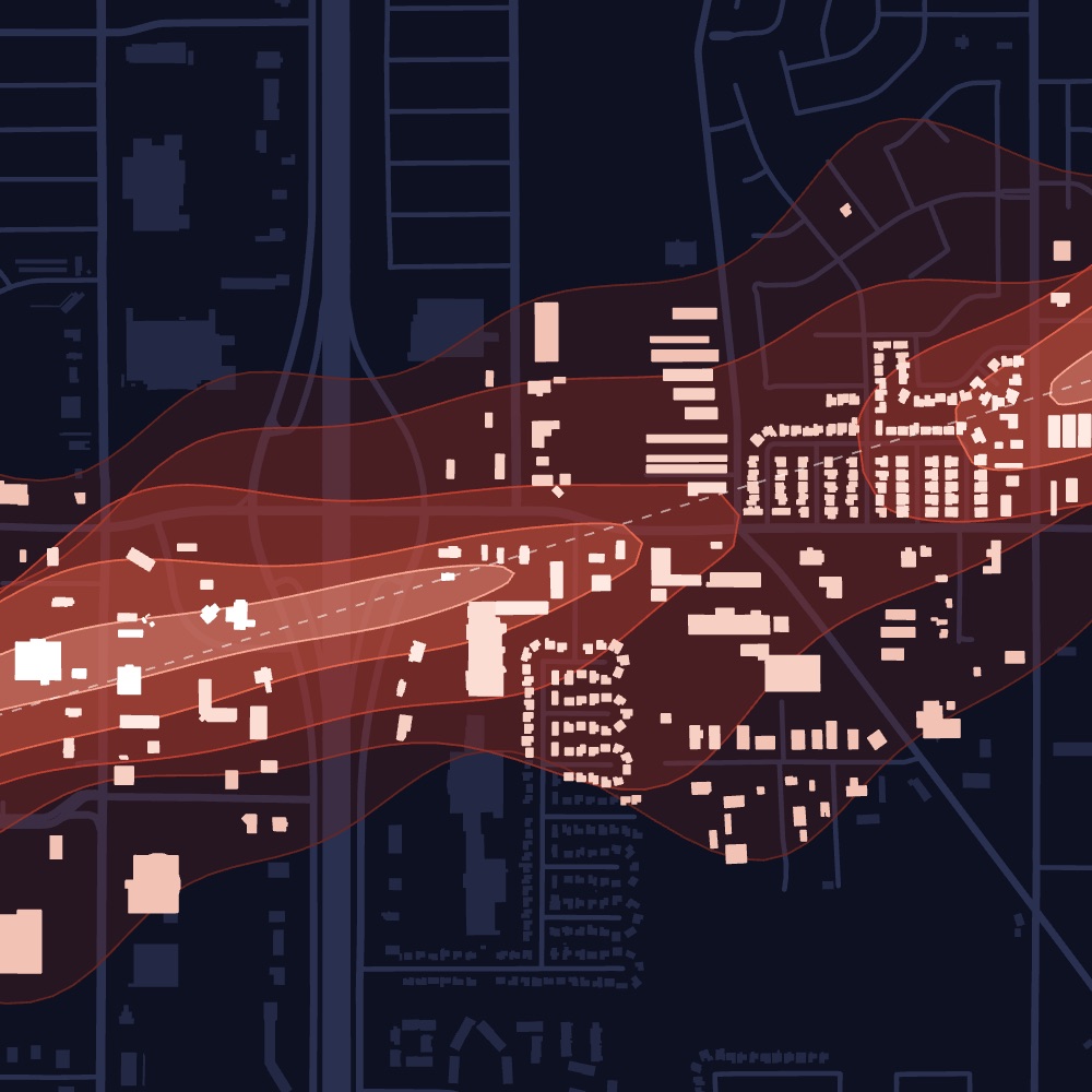
Tornado model viewTornado · Damage path
01 · Damage model

Tornado

Every building inside the path.

Tornado damage is narrow and severe. Dorothy finds every building in the path and shows how badly each one was likely hit.

  • Damage zoneThe damage zone each building sits in, EF0 to EF5.
  • Path detailsTrack, width, length and date.
  • Damage severityHow badly each building was likely hit.
ExampleLondon, Kentucky · May 16, 2025Explore Tornado
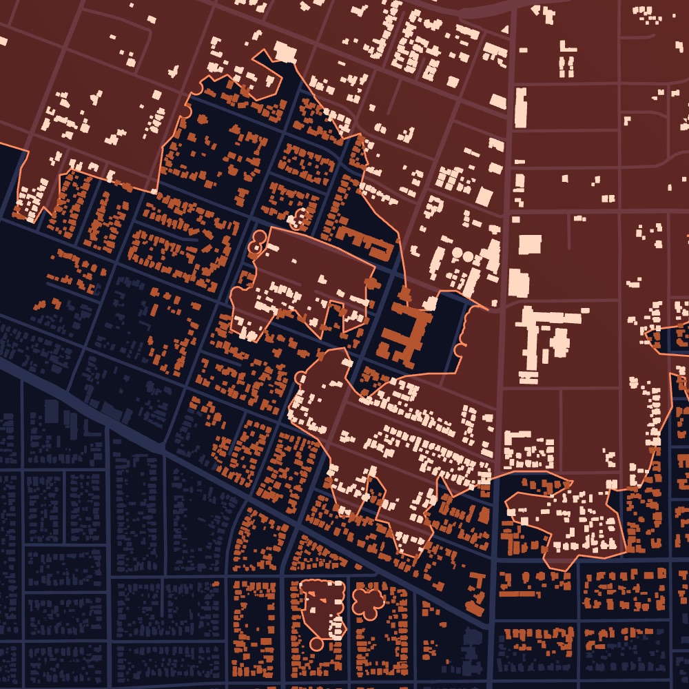
Wildfire model viewEaton Fire, CA · Burn area
02 · Damage model

Wildfire

Every structure the fire reached.

Dorothy follows each wildfire as it grows, maps every structure it reached and shows which ones likely burned.

  • Likely damagedEach structure the fire reached, marked likely damaged or not.
  • ConfidenceHow sure Dorothy is, structure by structure.
  • Burn intensityHow severely the ground around each structure burned.
ExampleEaton Fire, Altadena, California · Discovered January 7, 2025Explore Wildfire
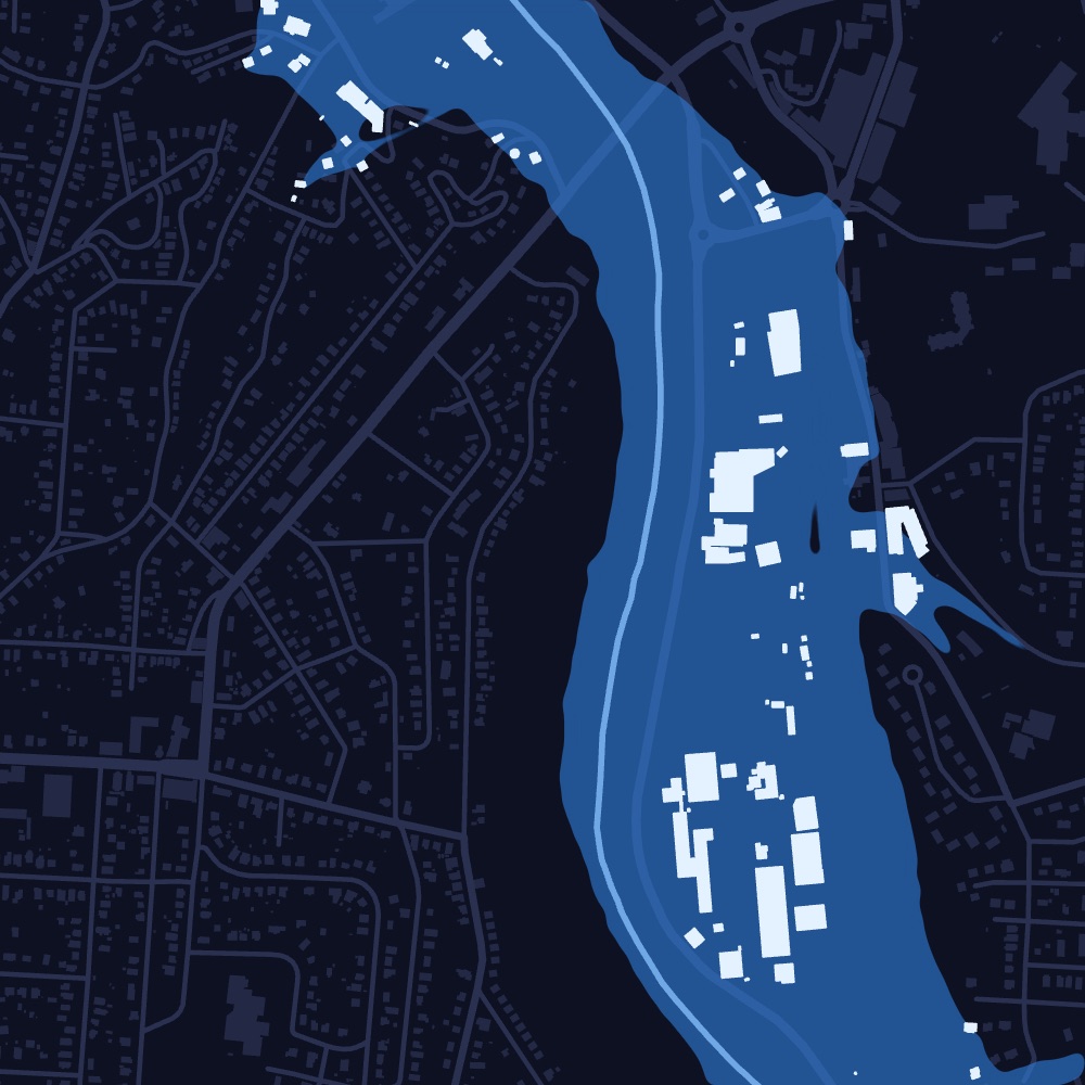
Flood model viewFrench Broad River, NC · Flood extent
03 · Damage model

Flood

Where the water went, and when.

Floods don’t follow storm tracks. Dorothy maps which properties the water reached and when it peaked, so you have the date of loss.

  • Inside the flood extentWhether the water reached the property.
  • ConfirmedMarked confirmed where flooding is observed.
  • Date of lossWhen the water peaked near the property.
ExampleFrench Broad River, Asheville, North Carolina · September 2024, Hurricane HeleneExplore Flood
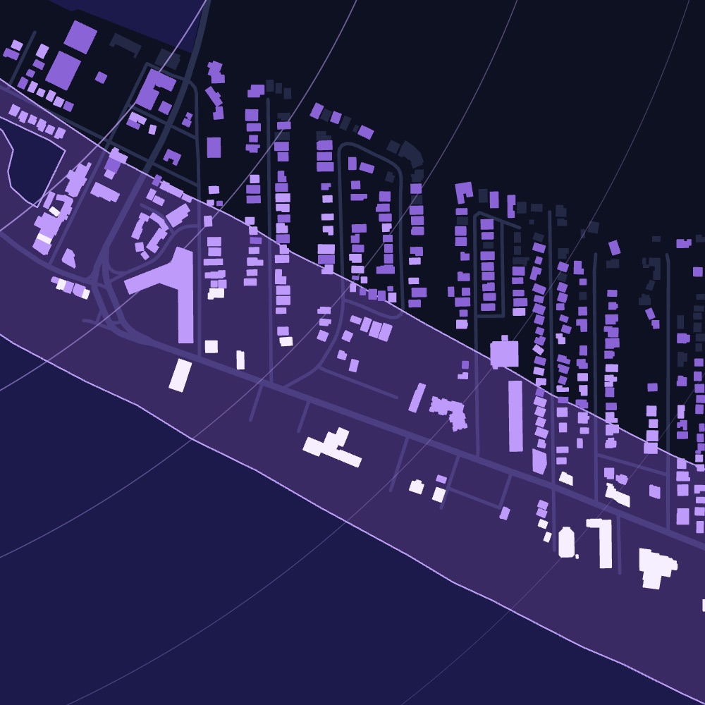
Hurricane model viewSiesta Key, FL · Wind + water
04 · Damage model

Hurricane

Wind, coastal flooding and inland flooding.

Hurricanes cause damage three ways. Dorothy runs a model for each: wind damage along the track, storm surge and coastal flooding, and inland and flash flooding, and matches every affected property to its owner of record.

  • Wind damageMajor or minor wind damage at each property.
  • Coastal and inland floodingWhether the property took storm surge, coastal or inland flooding, and if water likely got inside.
  • Before-and-after aerialsImagery from before and after landfall, where available.
ExampleHurricane Milton, Siesta Key, Florida · Landfall October 9, 2024Explore Hurricane
Emergency Dispatches model viewPhiladelphia, PA · Incidents
05 · Damage model

Emergency Dispatches

Hear every fire as it’s dispatched.

Everyday fires never make the weather report. Dorothy hears structure fires as they are dispatched and tells you the address, alarm level, property and owner.

  • AddressPulled from the dispatch call and placed on the map.
  • Alarm levelFirst alarm, second alarm and up, as called on dispatch.
  • UnitsThe engines and ladders sent to the call.
ExampleA second-alarm fire, from dispatch · Sample callExplore Emergency Dispatches
Talk to sales

See every event in your territory.

Tell us the states and counties you cover. We’ll walk you through recent events and the properties they affected.

Something went wrong. Please try again.