
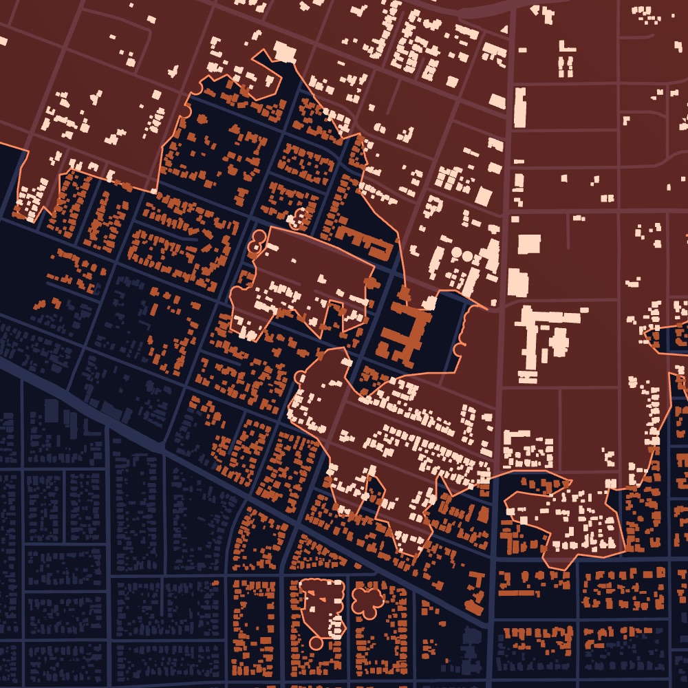
Flood
Where the water went, and when.
Floods don’t follow storm tracks. Dorothy maps which properties the water reached and when it peaked, so you have the date of loss.
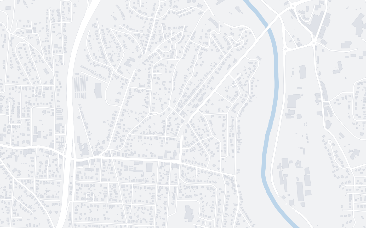
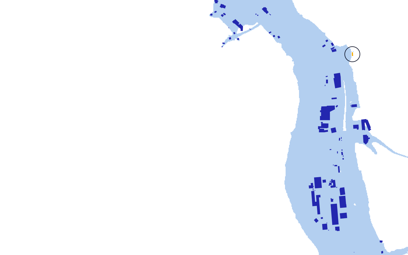
Flooded properties
In modeled extentEstimated waterProduct view, illustrative. Map data © OpenStreetMap contributors. Records shown are samples.
What it covers
River and flash floods, from the first warning to the day the water peaks.
What you get
Every affected property, how badly it was likely hit, and its owner of record.
Who uses it
Restoration, public adjusters, real estate
Per property
What you get for every property.
- Inside the flood extentWhether the water reached the property.
- ConfirmedMarked confirmed where flooding is observed.
- Date of lossWhen the water peaked near the property.
- Warning historyThe flood warnings that covered the area.
- Property detailsBuilding type, size, year built and value.
- Owner of recordOwner name, owner type and mailing address.
Property lists
Build the list your team actually works.
Filter every affected property by type, value and severity, then export it or push it to your CRM.
Illustrative. Exports to CSV, HubSpot and Pipedrive.
Example
French Broad River, Asheville, North Carolina
September 2024, Hurricane Helene
Helene’s rain sent the French Broad River to a crest of 24.82 feet on September 27. Dorothy maps where the water reached and dates the loss to the crest.
- River crest
- 24.82 ft
- Date of loss
- Sep 27
- North Carolina
- Asheville
Sample breakdown, for illustration.
How it updates
Updated as the event unfolds.
Every event starts with what is known in the first hours. As new information arrives, and as we run our own analysis, every property is updated.
- HoursFlood warning
Properties in the warned area are flagged as the warning is issued.
- DaysWater extent
We map where the water reached as rivers rise, and confirm flooding where it is observed.
- DaysRiver crest
When the water peaks, the date of loss is set for every property in the extent.
- WeeksField measurements
Measurements taken in the field after the flood are integrated, refining which properties the water reached.
Dorothy shows likely damage. Inspect before work starts.
Storm Reports
Need just one storm? Reports are coming soon.
Every flood we model becomes a report: only the impacted properties, each rated by severity, with owners of record, property type and value, and the date of loss. No subscription.
Get early accessEvery impacted property from a single flood, each rated by severity, with owners of record, property type, value and the date of loss.
Join the early-access list to hear first when reports open in your states.
Get early access →See flood damage in your territory.
Tell us the states and counties you cover. We’ll walk you through recent events and the properties they affected.